
Although the Montgomery County SWCD focuses on assisting producers in farm planning, education, conservation practices and cost share through conservation programs, we also offer help in many other areas.
Soil Survey Information
The district has a completed soil survey book for Montgomery County and we are able to reproduce soils maps and information as needed and answer any questions you might have about the tendencies of your soil. You may also visit http://www.websoilsurvey.nrcs.usda.gov/.
Topographical Maps
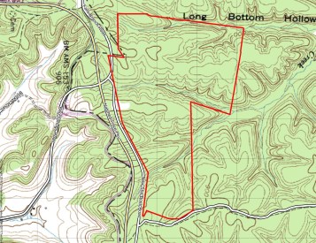
You may also access the topographical maps for Montgomery County in our office. The maps show contour lines and symbols that represent such features as streets, buildings, streams, swamps and woods.
Historical/Archived Aerial Maps
The MCSCD has the following historical aerial maps available in our office to assist in environmental studies, urban development studies or historical data needs:
1931, 1937, 1949, 1951, 1957, 1958, 1963, 1969, 1971, 1992
Please make an appointment to view these maps. Copies will be available if needed. You may also purchase all aerial files and years for $50 in office.
SEPTIC SYSTEM CONSTRUCTION AND PERMITTING![]()
All septic system construction and permitting is performed only by the Tennessee Department of Environment and Conservation (TDEC). Land located in middle Tennessee should visit the TDEC page for the most recent information, permits, fees and list of approved soil consultants.
TDEC DIVISION OF WATER RESOURCES SEPTIC SYSTEM ASSISTANCE
NASHVILLE FIELD OFFICE
711 R.S.GASS BLVD.
NASHVILLE, TN
615-687-7000


